Saturday, June 24, 2006
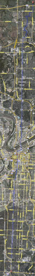
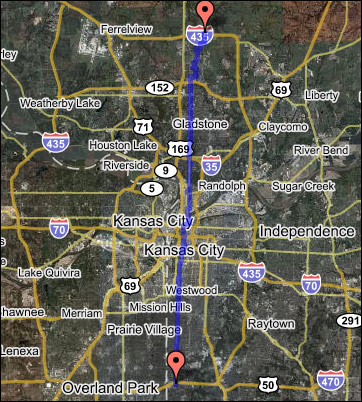
For this walk, I started just outside the northern leg of I-435 and began walking south, bisecting the city, until I crossed the southern leg of I-435. The total time period was 12 hours and 55 minutes, which included a 1 hour lunch break and about 2 hours in rain delays. The total distance covered was 28.9 miles. I took 55,283 steps, burned 3,689 calories, went through 3 pairs of socks, had to dive under shelter from heavy rain 5 times, and got 6 blisters on my feet. :)
I took several pictures along the way, scroll down to have a look. You can also click the route map to the left to see a larger version.
First off, an overview of the route:
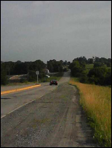
My friend Brandon dropped me off at I-435 & North Woodland at 7:45am. That's him driving away.
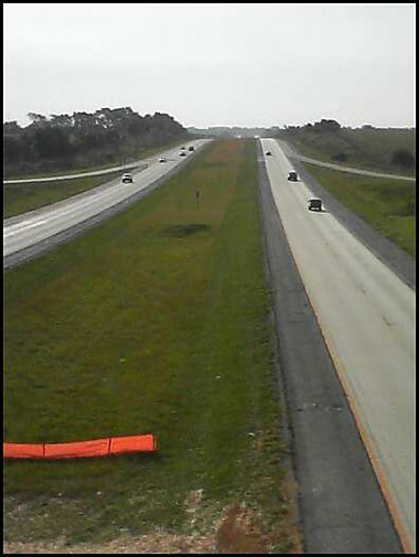
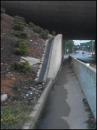
Crossing I-435 the first time...
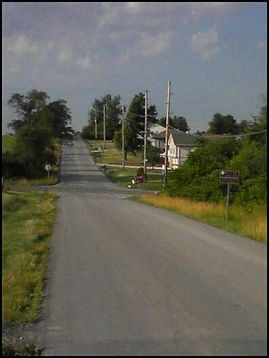
Heading south on North Woodland...

The first signs of civilization...
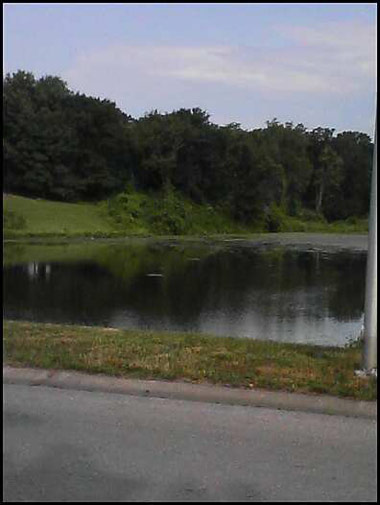
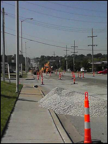
A nice little fishing pond in one of the subdivisions I walked across. I took a zig-zag route initially to avoid the lack of shoulders on Woodland and a construction zone on North Oak.
I reached North Oak at 96th Street, begining the first really long straight segment. I was surprised to see other people out walking.
Crossing MO-152...
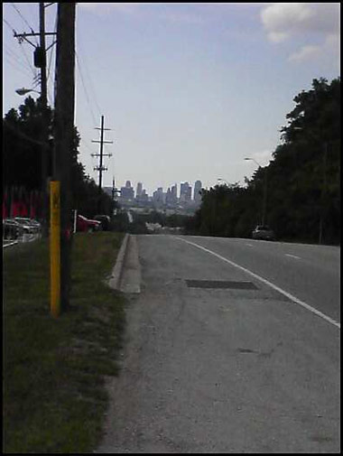
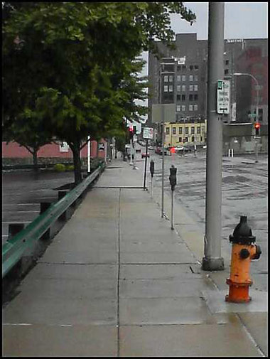
Construction on North Oak, and my first glimpse of the Downtown skyline...
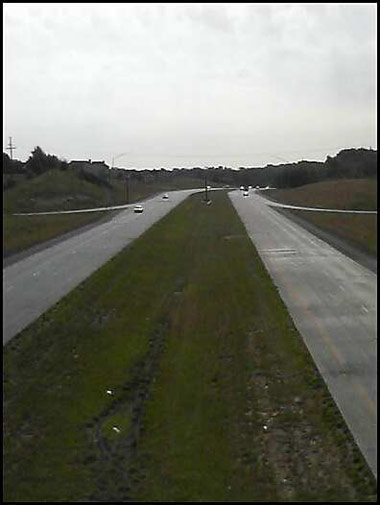
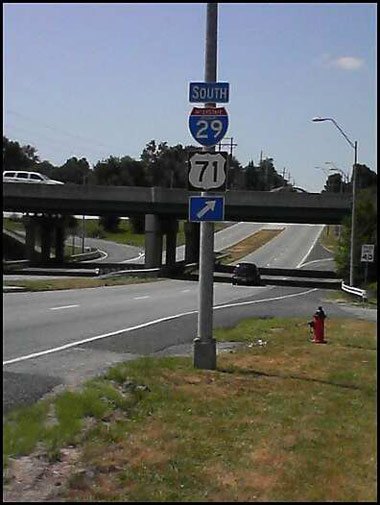
Crossing I-29, which would have been scary if the traffic were heavier since the almost non-existent shoulder turns into the on-ramp...
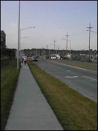
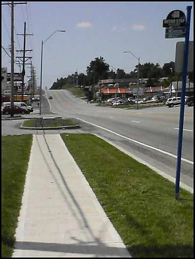
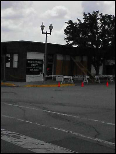
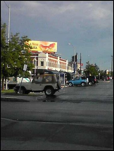
Continuing south past a lovely neighborhood of check cashing places...
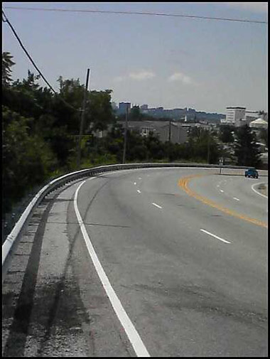
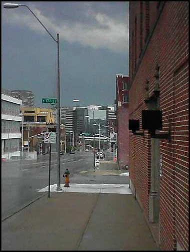
The first really good skyline view...
I was a little worried about getting mowed down going around this bend...
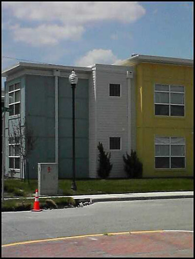
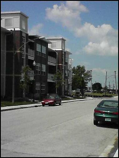
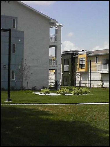
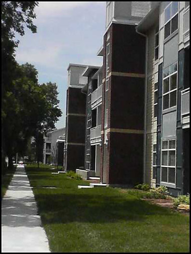
The next five pictures are of the New Urbanism development at the north end of North Kansas City, along Swift...

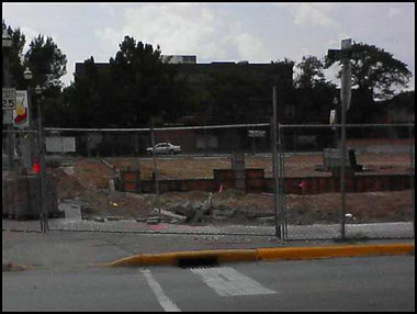
The former Osco and future CVS at Armour & Swift...
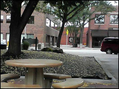
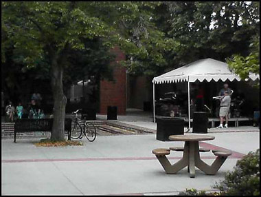
The next two pictures are from a courtyard in downtown NKC where I took a short rest as a jazz band played...
Looks like someone ran their car into the front of this building, and it appears to be in extreme danger of collapse.
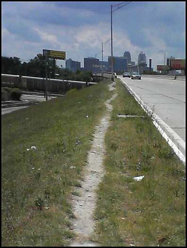
A well-worn footpath heading up to the Heart of America Bridge. If MODOT doesn't think there's demand for a safe pedestrian/bicycle path across the Missouri River, they need to see this photo.
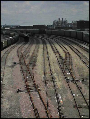
Crossing over the railyards...
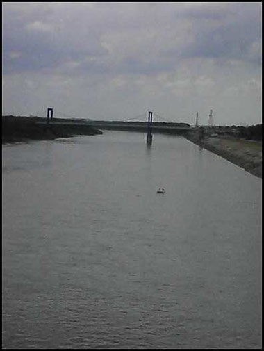
Crossing the Missouri River...
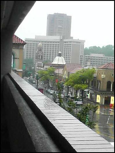
When I reached the River Market I took a lunch break, and just as I finished lunch a strong storm erupted. By the time the lightning stopped and the rain let up enough to continue, I lost just over 2 hours of valuable time. From 3rd Street until 67th Street it rained on me non-stop.
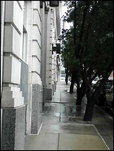
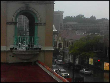
I pressed on in light rain and made my way south through Downtown...
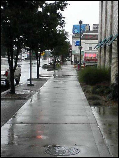
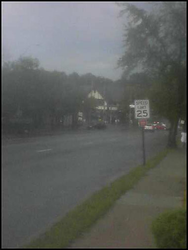
As I entered the Crossroads it looked like the worst of the weather was over.
Soaked, I stopped in Union Station to use the restroom, dripping my way right through a wedding party. :)
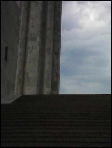
The first set of many steps up to Liberty Memorial as I cut across Penn Valley Park.
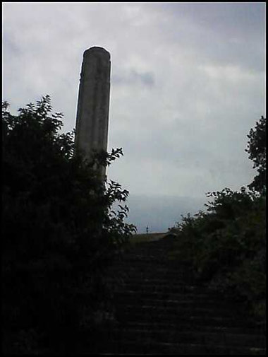
And more steps... and more steps!
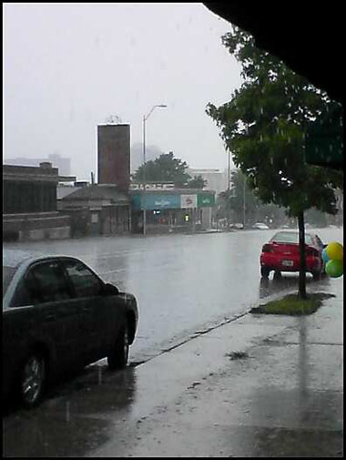
On Broadway, as I crossed Linwood, I got stuck in an extremely heavy sudden downpour. I took shelter under an awning with a couple of locals and was stuck there for nearly half an hour until the rain subsided enough to continue.
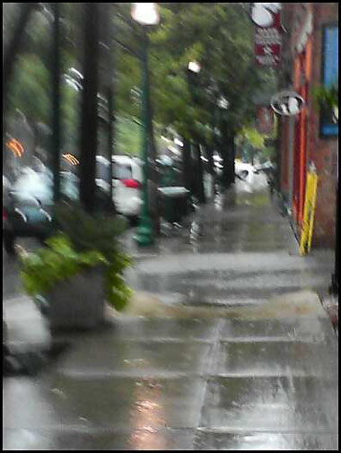
The rain let up to just a light rainfall, so I continued on South...
I only made it a few blocks before another downpour forced me to take shelter again...
By the time I got to Westport it looked like I had been in a wet t-shirt contest. This picture came out this way due to rain on the lens.
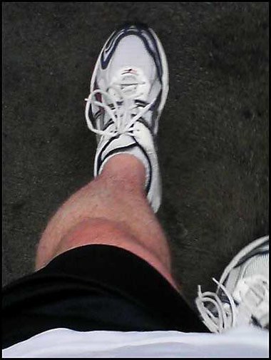
Another heavy downpour forced me to take shelter near Murray's. Since I knew I'd have to take the trademark shot at some point, here's the obligatory photo of my rainsoaked leg. I spent several minutes here wringing out my shirt while waiting for the rain to let up.
The rain lightened up again so I continued, and I made it only a few more blocks before another downpour forced me to shelter in a Plaza parking garage...
After about 10 minutes the rain got a little lighter again so I resumed my journey south on Wornall. I was certainly jealous of all the people with umbrellas.
Brookside in the rain...
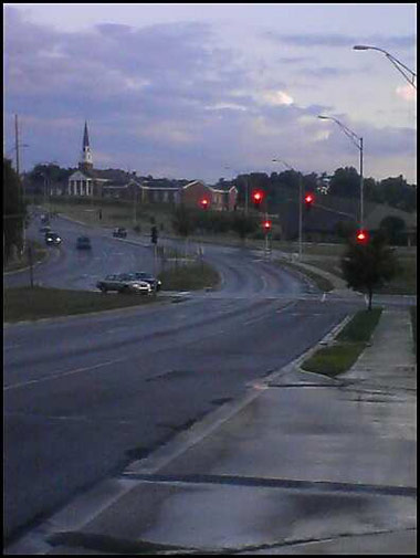
Finally, by the time I got to Waldo, the rain had stopped and the sun came out.
Wornall & Ward Parkway...
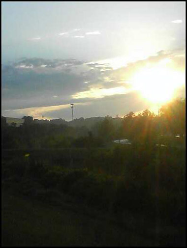
The sun is setting, gotta hurry!
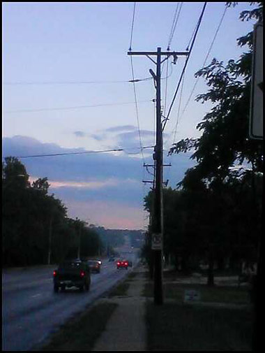
Barely visible in the distance, my first glimpse of my goal...
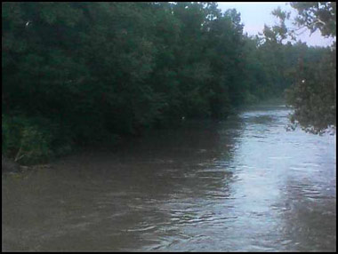
Indian Creek on the verge of flooding...
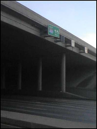
About to cross I-435 for the second time...
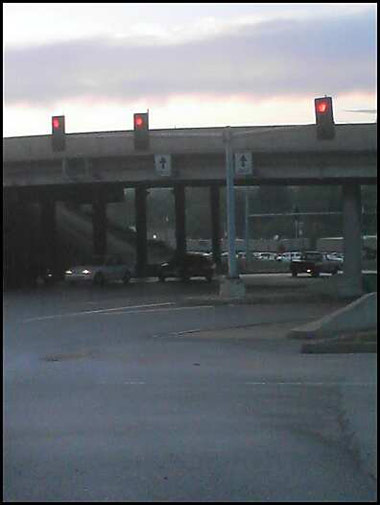
Looking back at I-435, having completed my goal!
Wow! Am I tired! :)

Having completed this walk something has occurred to me. There is no longer anything in the KC metro area that I can claim is not within walking distance. :)